What is Overture Maps?
Overture Maps is a free, open map dataset of the whole world, published by the Overture Maps Foundation. It covers places of interest, building footprints, addresses, administrative boundaries, roads and the base layer of land and water. Overture combines data from OpenStreetMap, its member companies and other open sources into one schema, with stable IDs, and publishes a new release every month.
This page explains what's in it and how to get at it. If you want the short version: Overture publishes very large files for you to download and query yourself, and this API lets you ask for just the part you need instead.
Who makes it
The Overture Maps Foundation was launched in December 2022 by Amazon Web Services, Meta, Microsoft and TomTom (TomTom announcement). It is a Joint Development Foundation project, an affiliate of the Linux Foundation (Overture FAQ). The data is open and free to use under the licences below.
The six themes
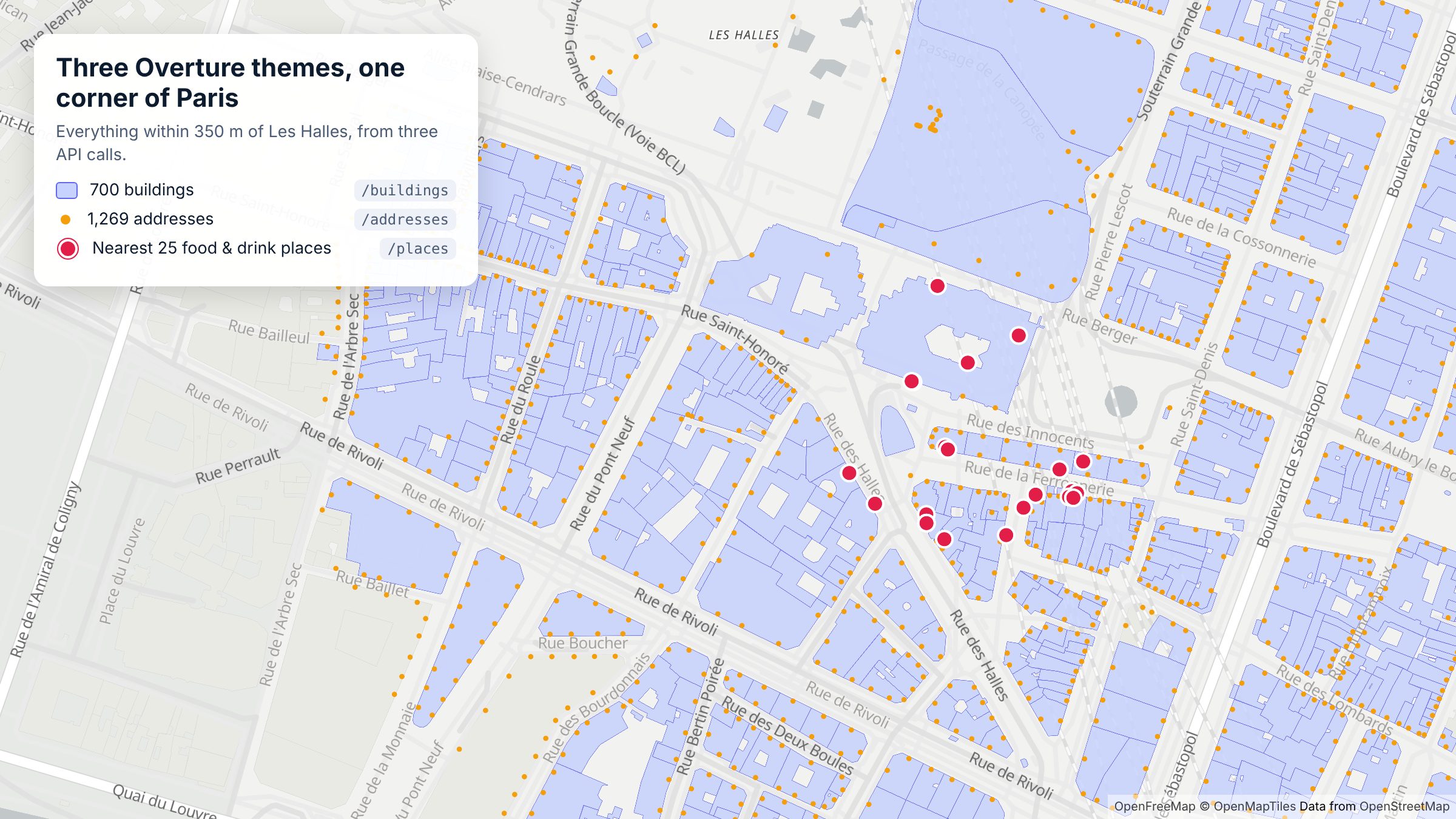
Overture organises its data into six themes. As of the 2026-10-21.0 release, with schema v2.0.0 (release notes):
| Theme | What it holds | Size (Oct 2026) | In this API |
|---|---|---|---|
| Places | Points of interest: shops, restaurants, services, landmarks, with categories, brands, websites and phone numbers | 88,418,121 places | /places |
| Buildings | Building footprints with height, floors, class and roof details | 2,533,842,612 buildings | /buildings |
| Addresses | Address points from national and local open sources | 475,263,892 addresses | /addresses |
| Divisions | Countries, regions, cities and neighbourhoods, with boundaries | /divisions | |
| Transportation | The road, rail and path network | /transportation | |
| Base | Land, water, land use and infrastructure | /base |
Overture's release notes give totals per theme for places, buildings and addresses, and per feature type for the others.
Every feature carries a GERS ID, Overture's Global Entity Reference System identifier. It's meant to stay stable across releases, so you can join Overture data to your own records and follow a place or building over time (What is GERS?).
How often it changes
Overture publishes a new release every month (Accessing the Overture catalog). Each release can add places, retire old IDs and change the schema, so it's worth reading the release notes or the changelog, where we summarise what each release means for API callers. Upcoming dates are on Overture's release calendar.
Licences
Licences differ by theme (Overture attribution and licensing):
- Base, buildings, divisions and transportation: ODbL.
- Places: set per data provider. Most is CDLA Permissive 2.0; Foursquare's contribution is Apache 2.0 and AllThePlaces' is CC0 1.0.
- Addresses: set by each country's source, ranging from CC0 1.0 to CC BY 4.0 and national open licences.
Every feature lists its sources, with their licence, in sources[].license. Overture asks for the attribution "Overture Maps Foundation, overturemaps.org".
How to get the data
Option 1: download and query it yourself
Overture publishes its data as GeoParquet files on Amazon S3 and Microsoft Azure, and partners host copies on platforms such as BigQuery, Databricks and Snowflake (Overture documentation). Overture's own quick-start tools are the Python CLI and DuckDB, and you can browse a release in the Overture Explorer.
That suits analysts working with a whole country or theme at once. It means picking the right release, writing spatial SQL, and handling files measured in gigabytes, then doing it all again every month.
Option 2: ask an API for just what you need
This API runs Overture's data behind a normal REST interface. You send a location and a few filters and get JSON or GeoJSON back, for example every café within 800 m of a point:
curl -H "x-api-key: DEMO-API-KEY" -X GET -G 'https://api.overturemapsapi.com/places' \
-d 'lat=-33.8910' -d 'lng=151.2769' -d 'radius=800' -d 'categories=cafe' -d 'limit=5'
There are no files to download, no SQL, and no monthly re-import: the API moves to new Overture releases for you, and the changelog records each one. On top of the raw data it adds brand logos and websites from Wikidata (enriched data), filters such as has_contact and operating_status, and type-ahead search by name.
DEMO-API-KEY works near New York, London, Paris and Sydney. Sign up for a free key to search anywhere.
Where to go next
- See the data on a map: the live demo lets you explore places, brands, buildings and boundaries without writing code.
- Make your first request: Getting started.
- Build something: the guides, such as Build a "what's near me" feature and Map every location of a retail chain.